On the southern side of Skogsøya there is an 130 years old road, stretching 5 km (3 miles) from Hjellsand to Øksnes. Some years ago (1984) I took my camera, jumped on a bicycle, and went on a little photo safari. Thirty photos later I was at the other end of the road, and on the return trip I repeated the process.
Why take mostly unglamorous pictures along an old country road? Well, if you want to look at a place through the eyes of the people who live there, then you must start with their most common sights - the road and its surroundings.
By the way, I grew up where the road ends in west. The photos show where I walked - yes, walked - to the school near the other end. It was a long walk for a seven year old boy. I remember winter days with stormy weather, rain in the air and ice on the ground, when it took almost two hours to reach the school.
Below you'll find some of the slides from the first half of my trip. Be my companion!
 |
 |
The road ends - or begins? - outside my childhood home at Hjellsand. You can see it as a path near the corner of our house. Let's walk a few steps past that corner - |
|
 |
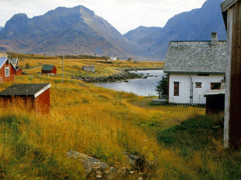
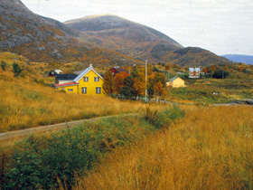
| - and then we can see a row of small farms. The road cuts between the houses and the sand near the sea. It disappears through the right border. |
 |
|
 |
|
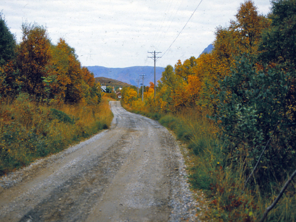
Hjellsand is behind us. The road crosses a flat called "Myran" - the bogs. The bogs were cultivated long ago, but now there's no farming here. |
|
 |
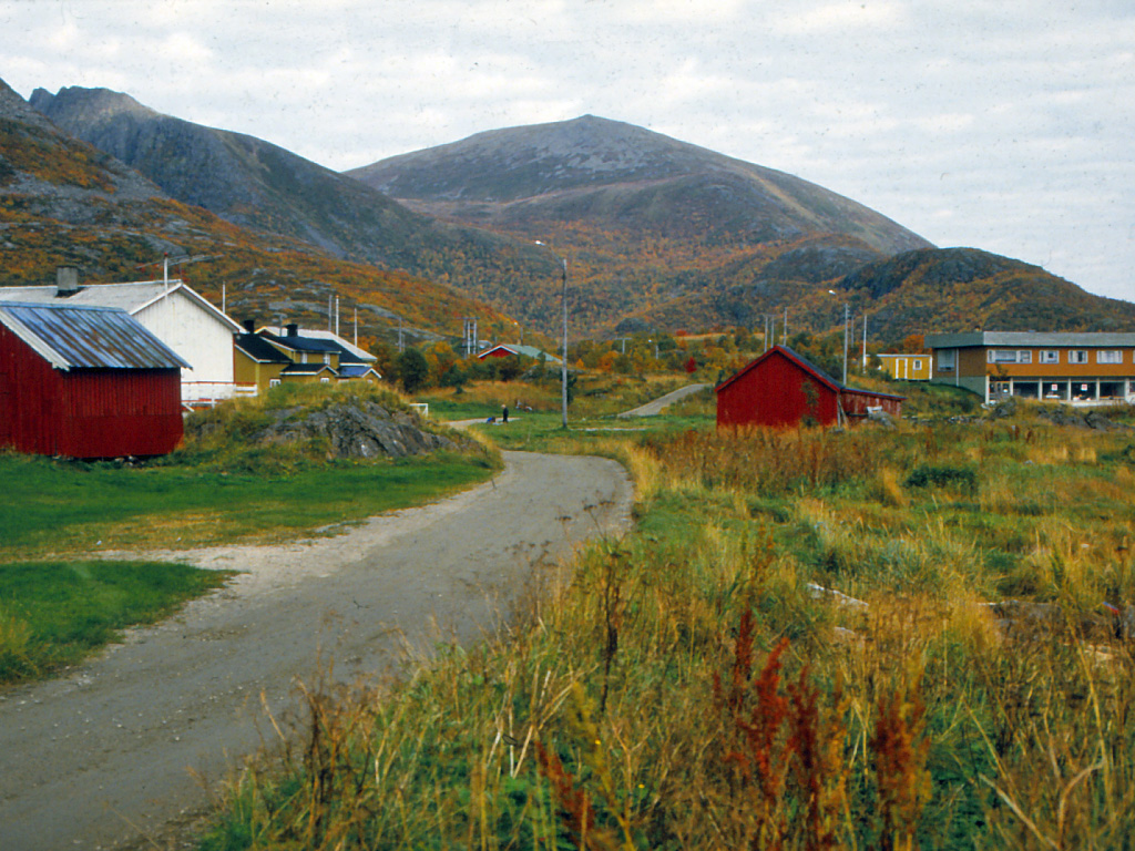
| Now we can se Outer Tunstad, a group of small farms bordering a little bay. At far right the road goes over a low hill (below the bluish mountain in the background. |
|
|
 |
|
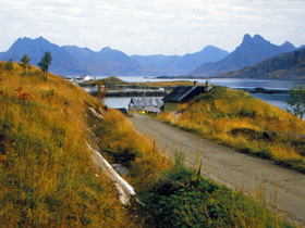
On the top of the little hill we meet the first houses at Inner Tunstad. Behind it we can see the harbour, a narrow bay sheltered by a sword-shaped point called Breistrand. |
|
 |
| Some of the houses at Inner Tunstad, where heavy waves roll across the road when a storm from southwest hits the island. |
|
|
 |
|
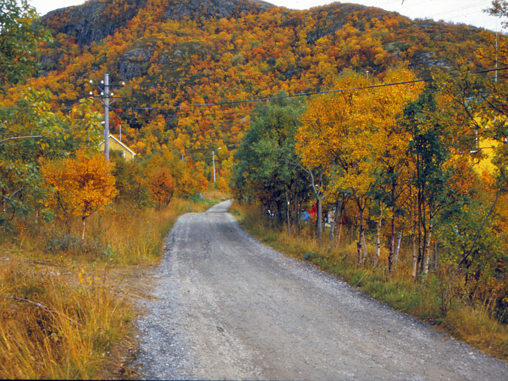
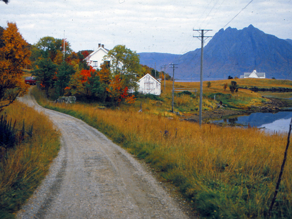
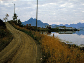
The roads make a turn around the harbour (The Breistrand Bay). This place is called Solbakken - the sunny hillside. Birches and rowan trees line the road. |
|
 |
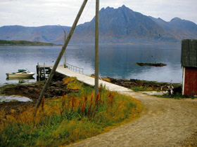
| Now we are on the other side of the harbour. We're looking westwards towards the buildings at Breistrand. |
| >
|
 |
|
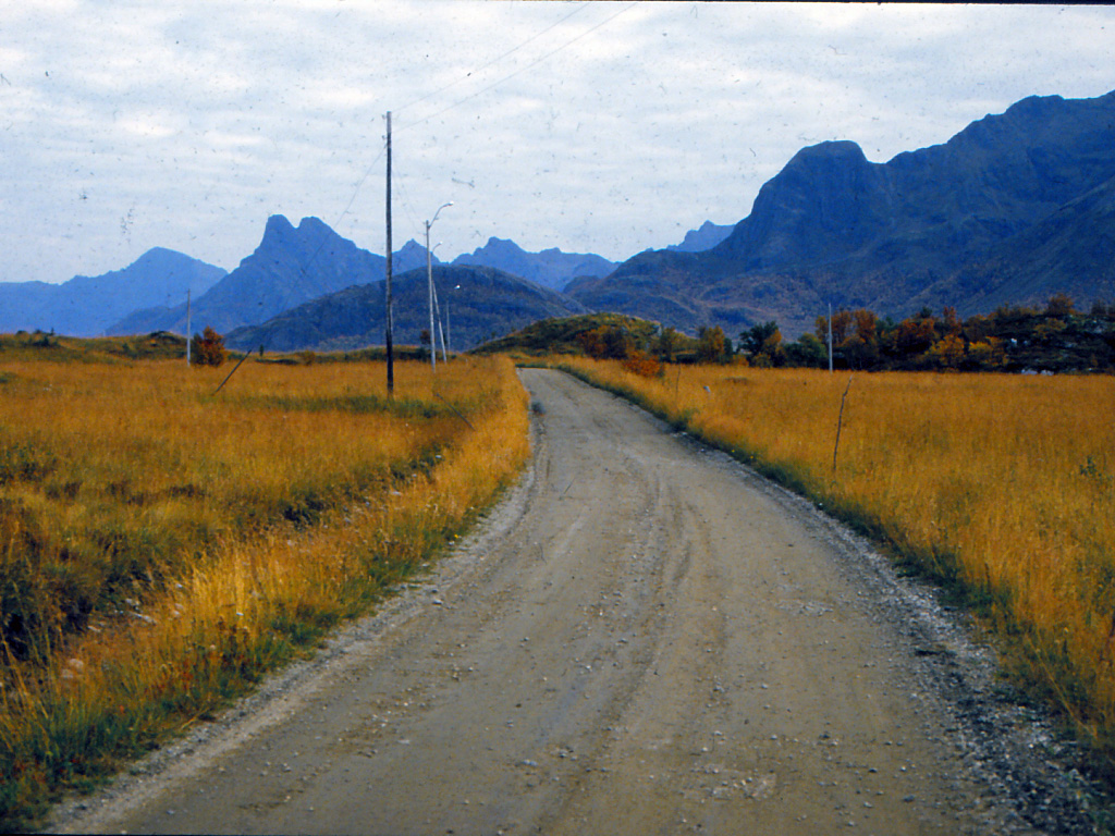
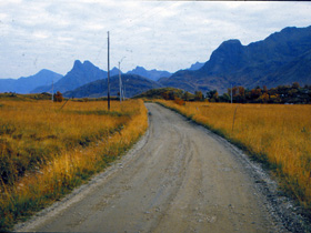
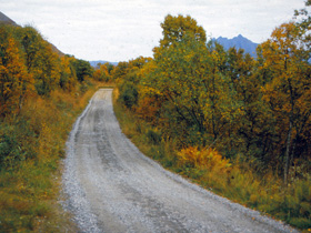
The road turns in eastern direction again and goes uphill for a while. If two cars meet, then one of them must stop while the other car slowly rolls by. |
|
 |
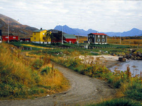
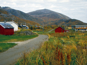
| Downhill again, and now we can see Øksnes. We're approaching the school buildings, empty since 1991. The school was closed for ever on its 125th anniversary. |
|
|
 |
|
We have put the school behind us. The white buildings once were a little local hospital. We can now see the church, where the road stops. |
|
 |
| The road ends at a little jetty, and so does our journey. Perhaps I'll invite you later to come along on my return trip. |
|
|


![[backarrow]](b_arrow.gif) :tilbake til hovedsida..........jump to the English main page:
:tilbake til hovedsida..........jump to the English main page:
![[english-arrow]](c_arrow.gif)